Quantum Systems
Projektbeschreibung
Delivering mission-critical mapping data to the tactical edge.
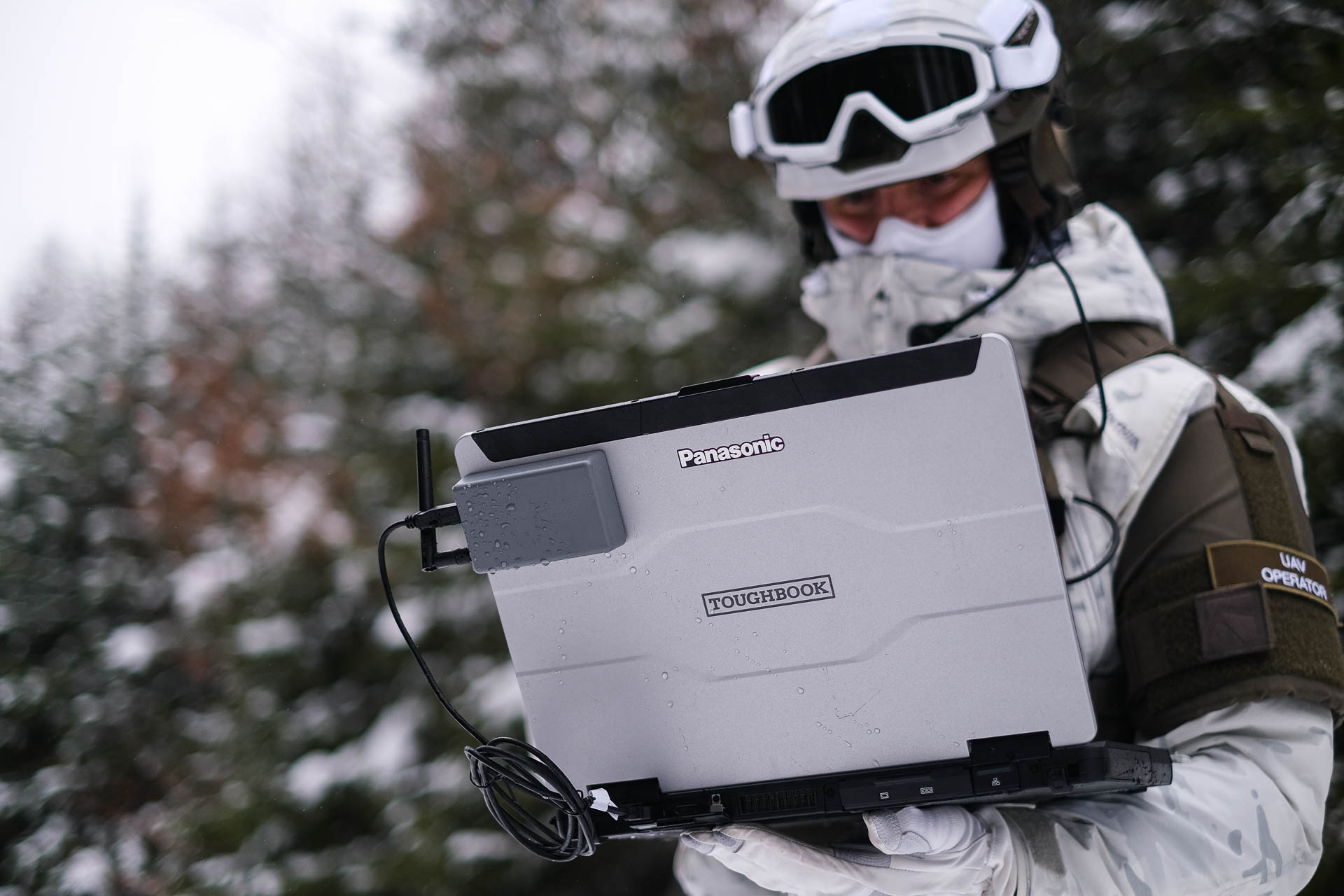
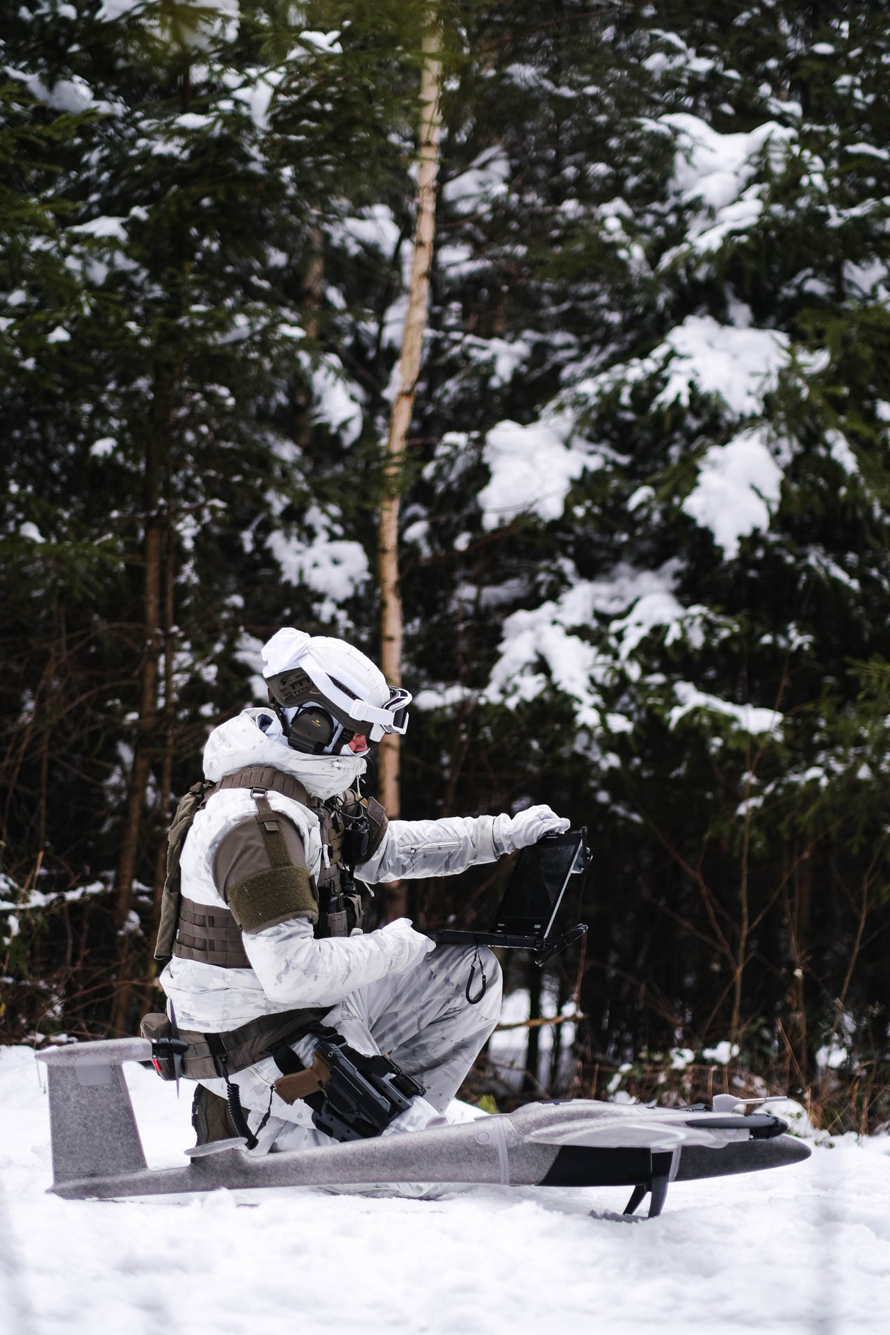
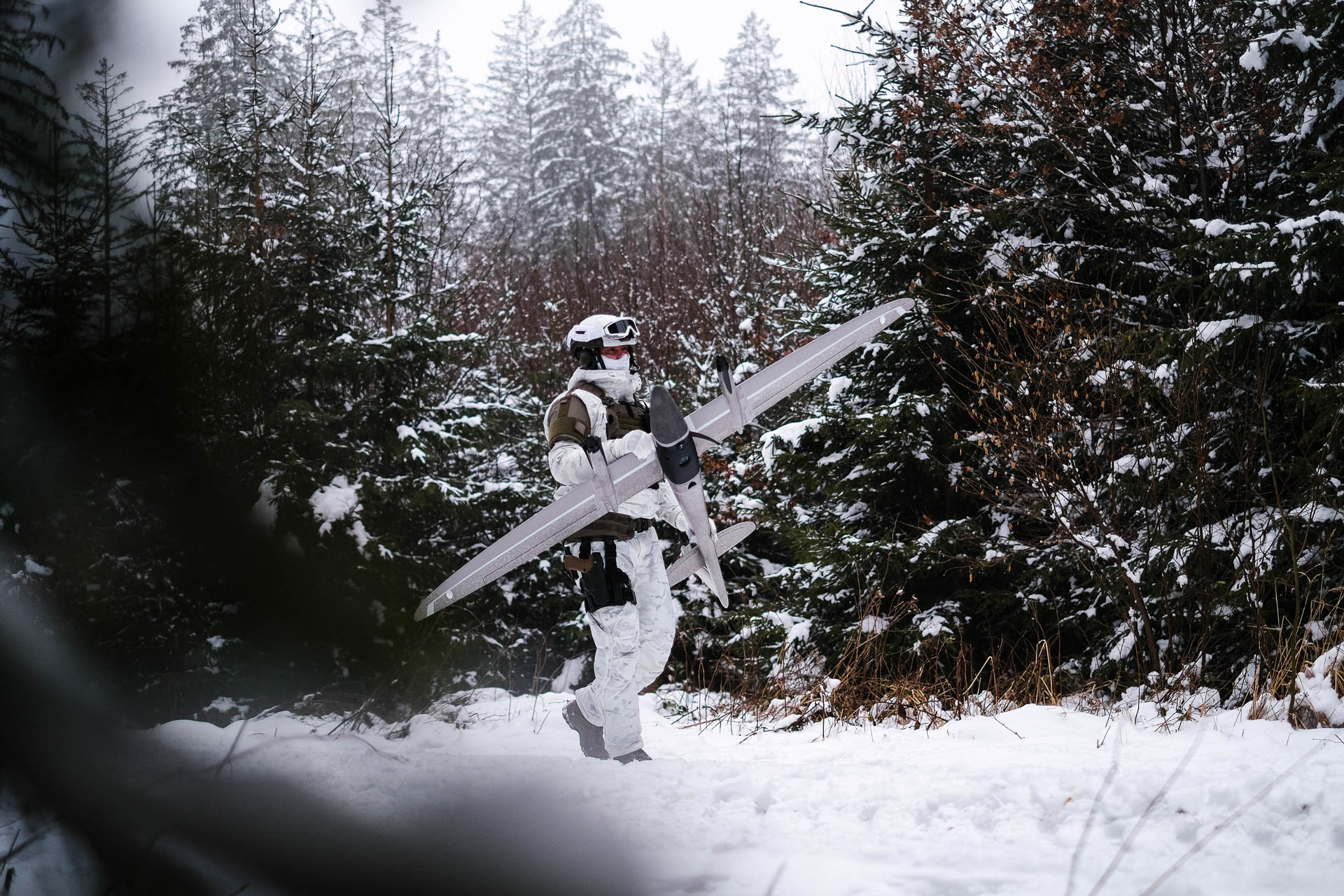
Warfighters operating in forward deployed, disconnected environments do not have time to wait for imagery to come from rear echelon sources. The battlefield is constantly changing and they need a Geographic Information System (GIS) at the tactical edge that is portable and easy-to-use that provides precise, reliable imagery when needed.
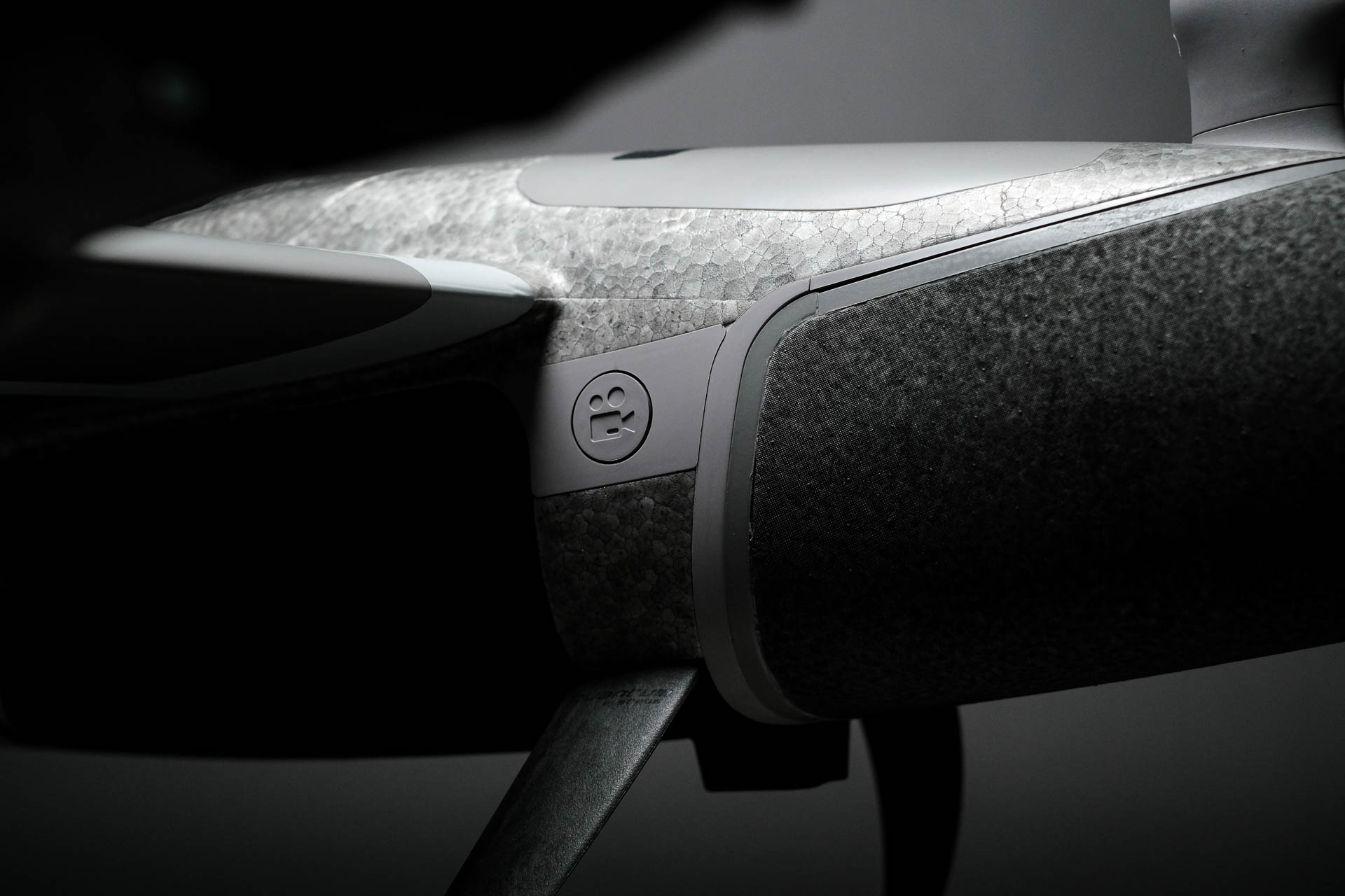
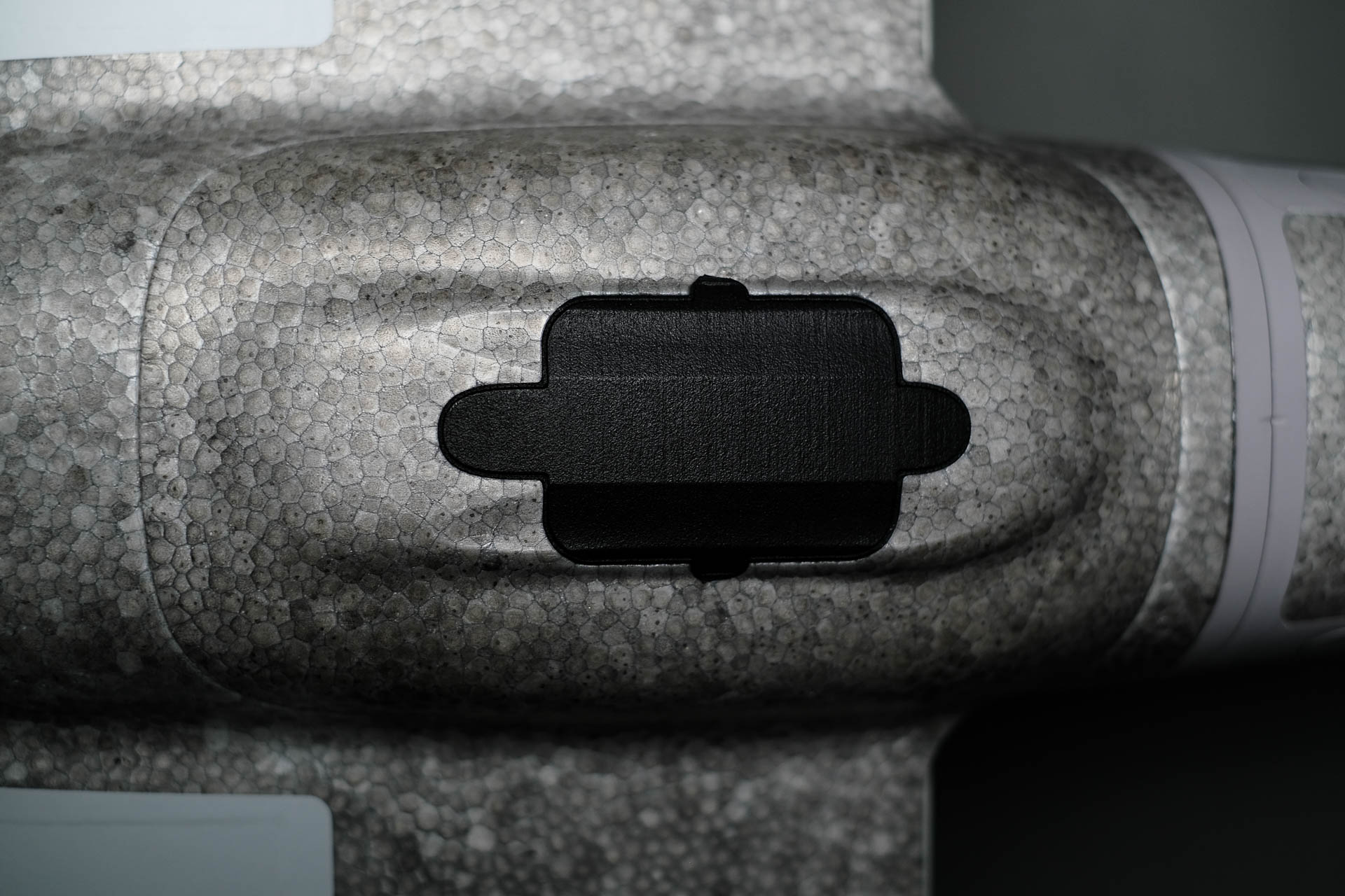
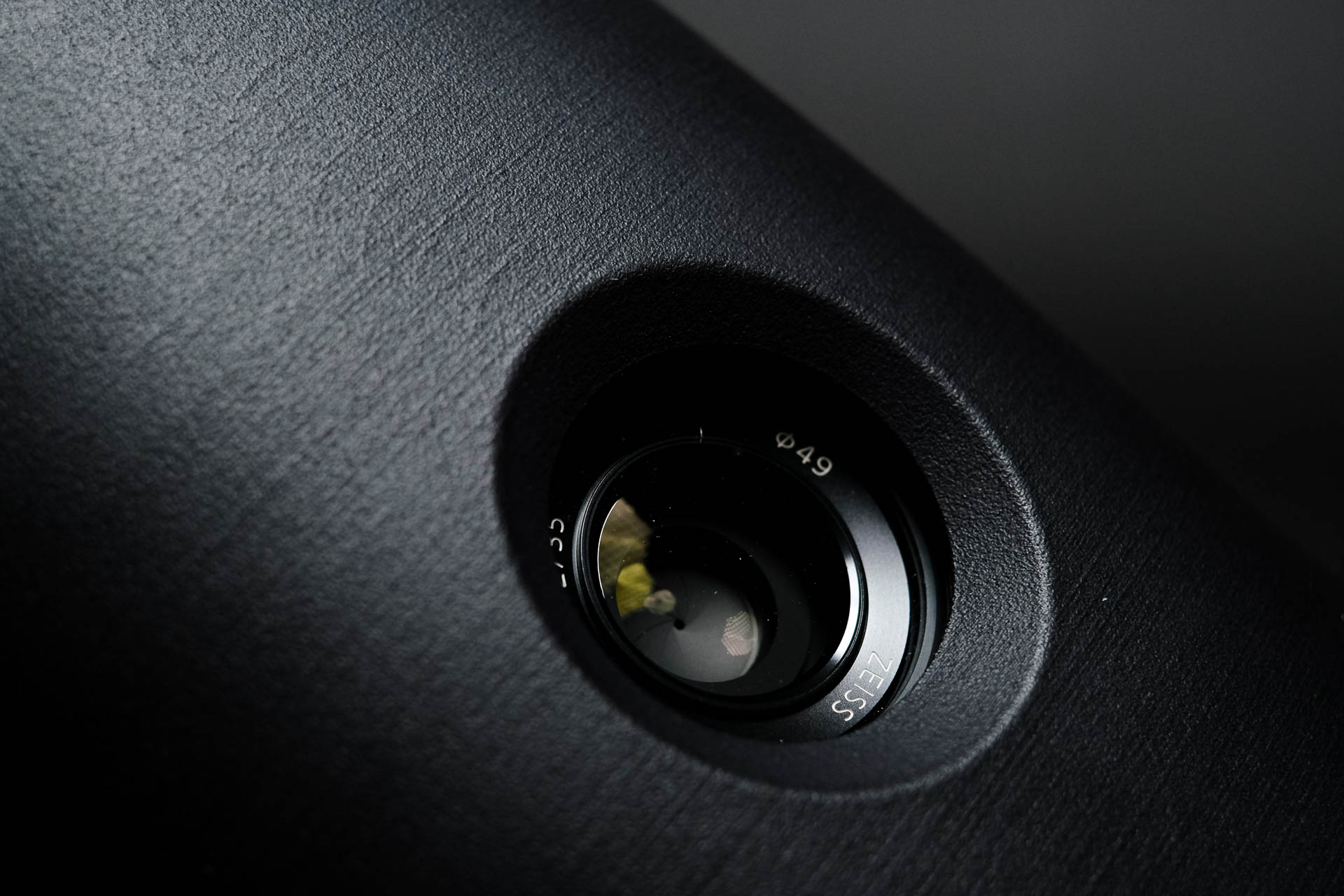
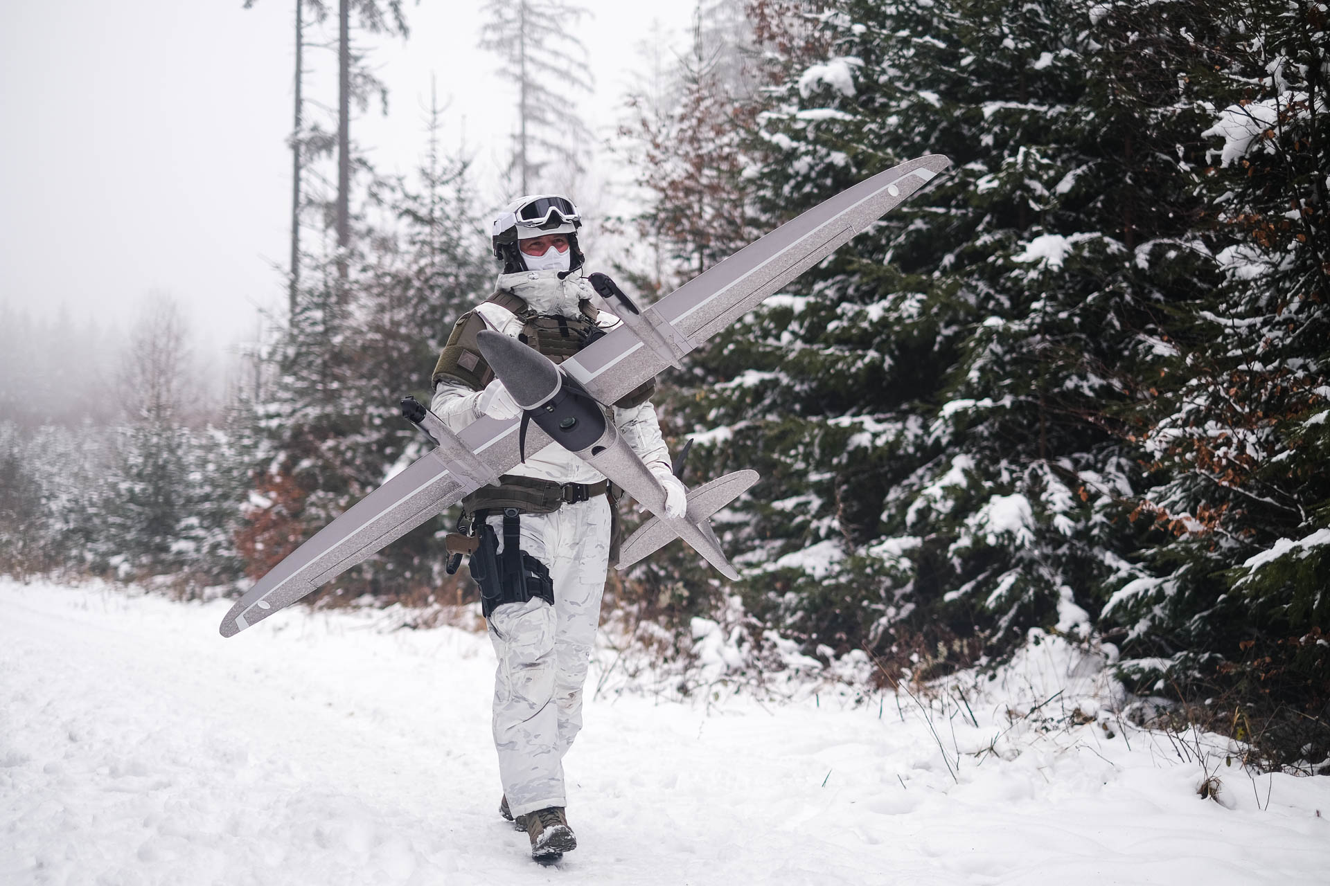
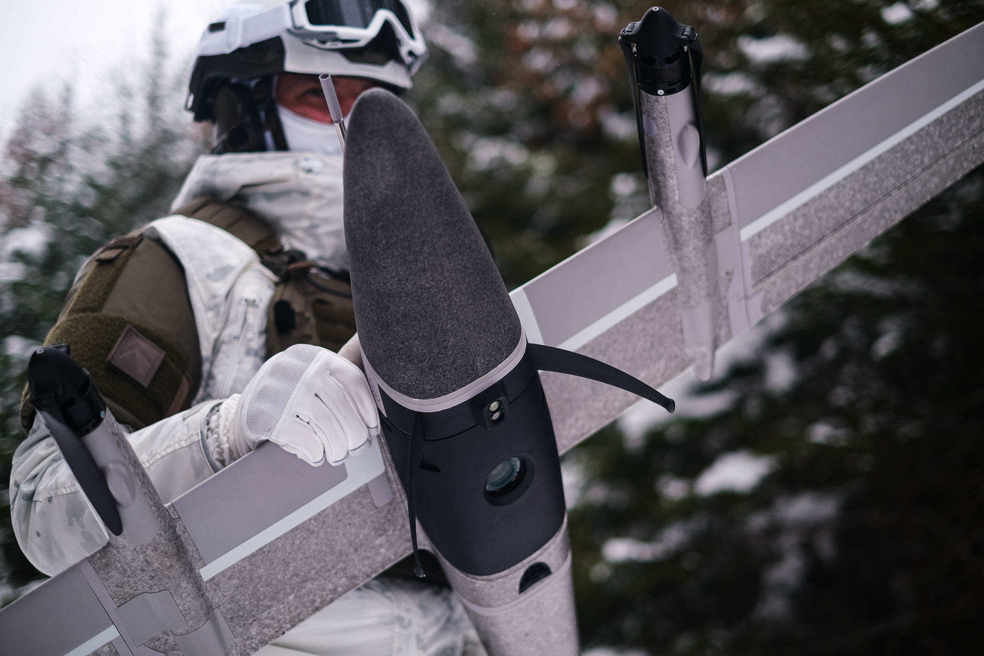
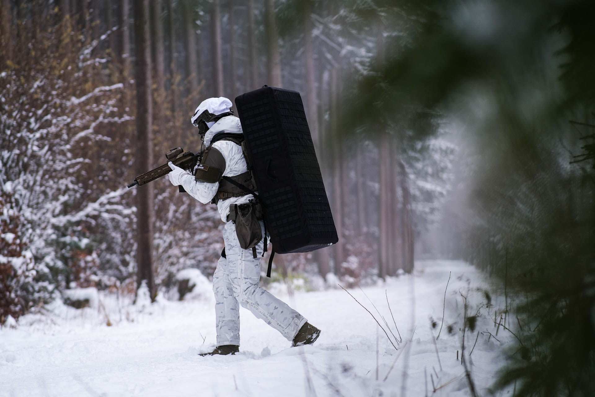
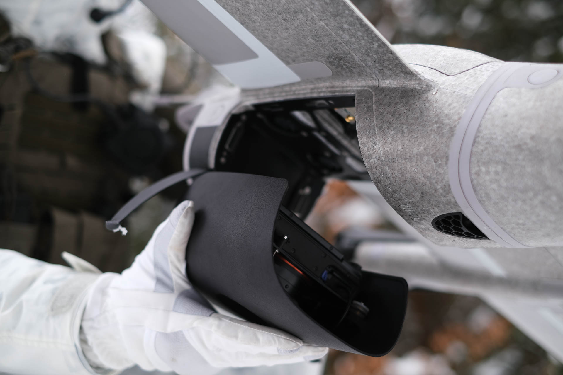
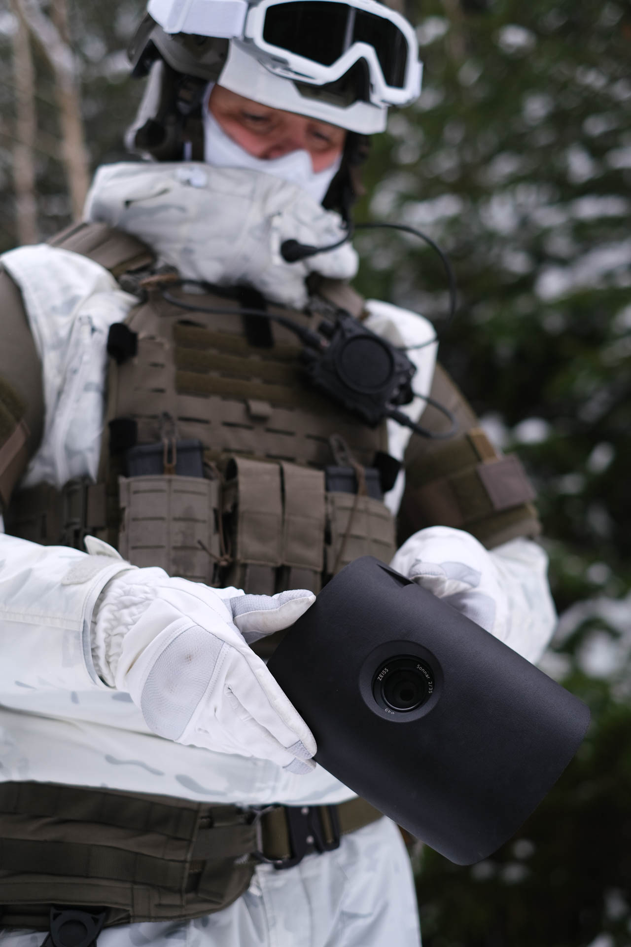
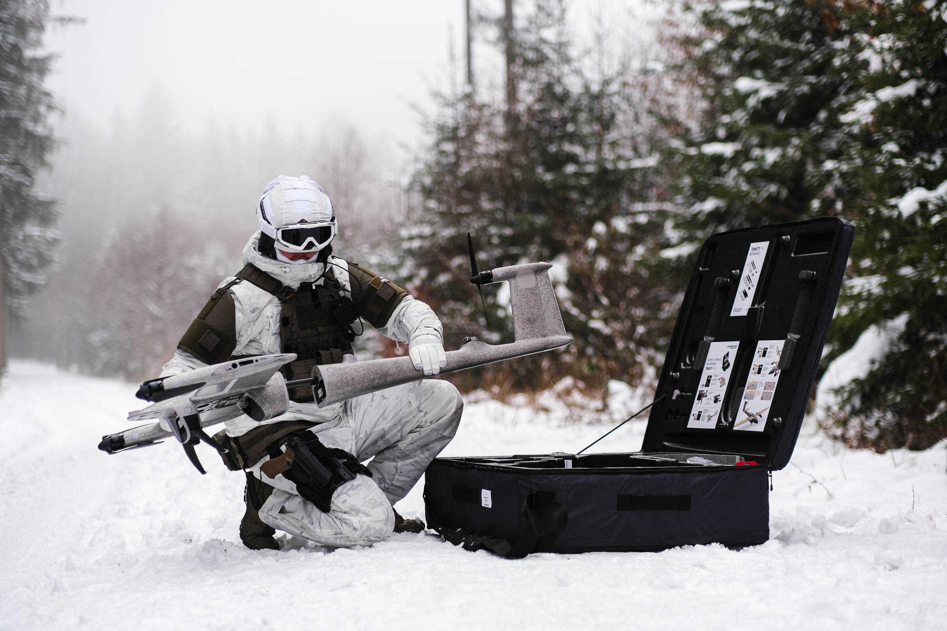
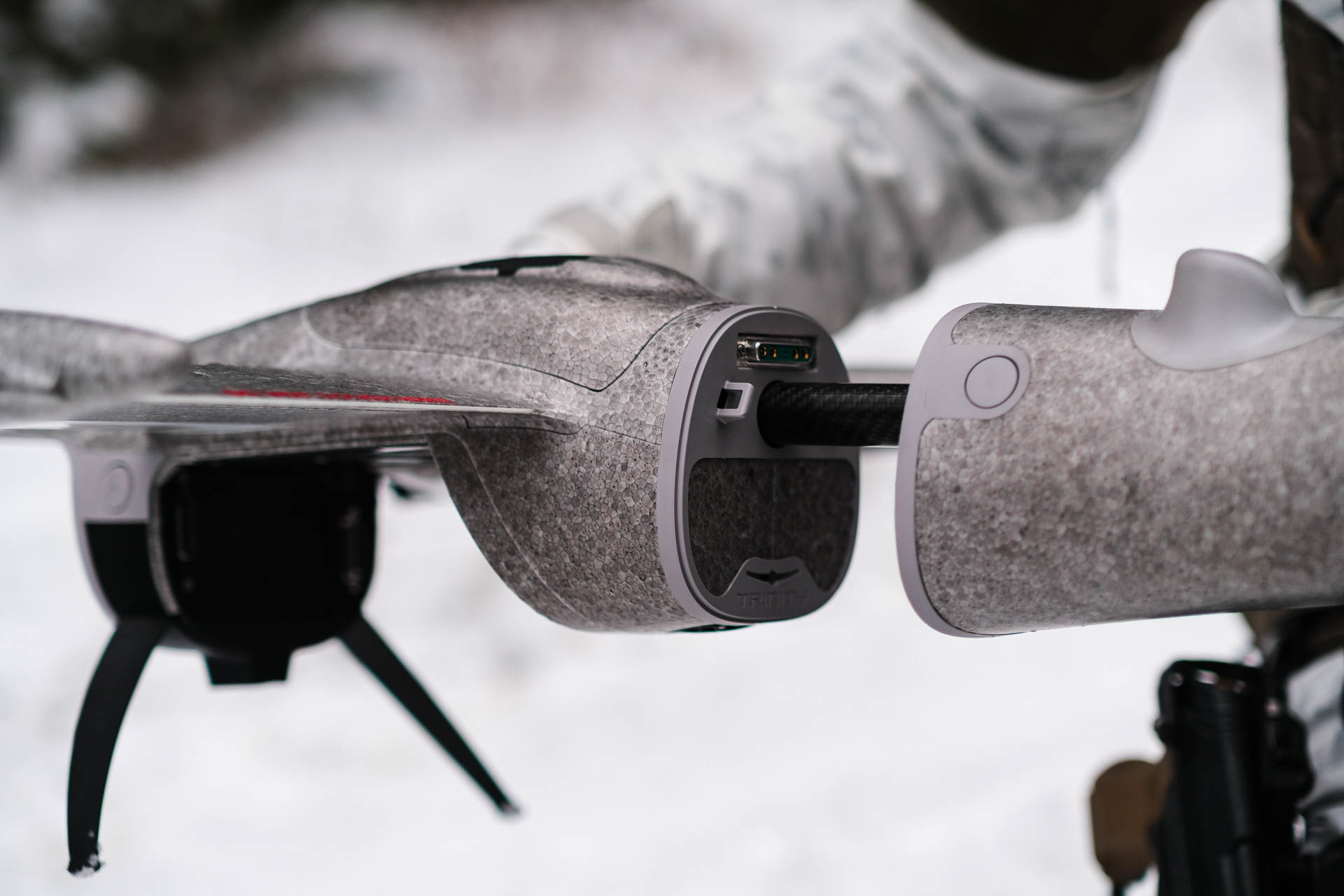
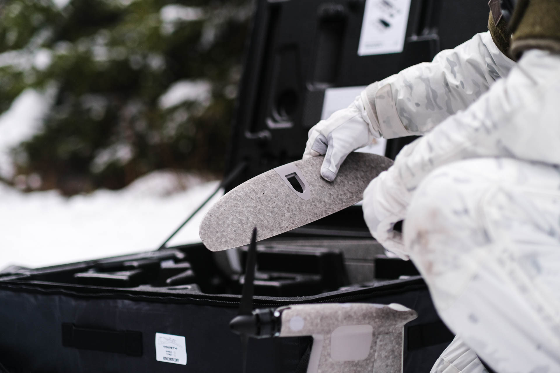
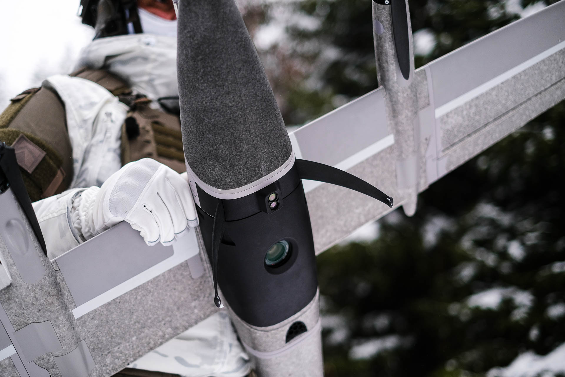
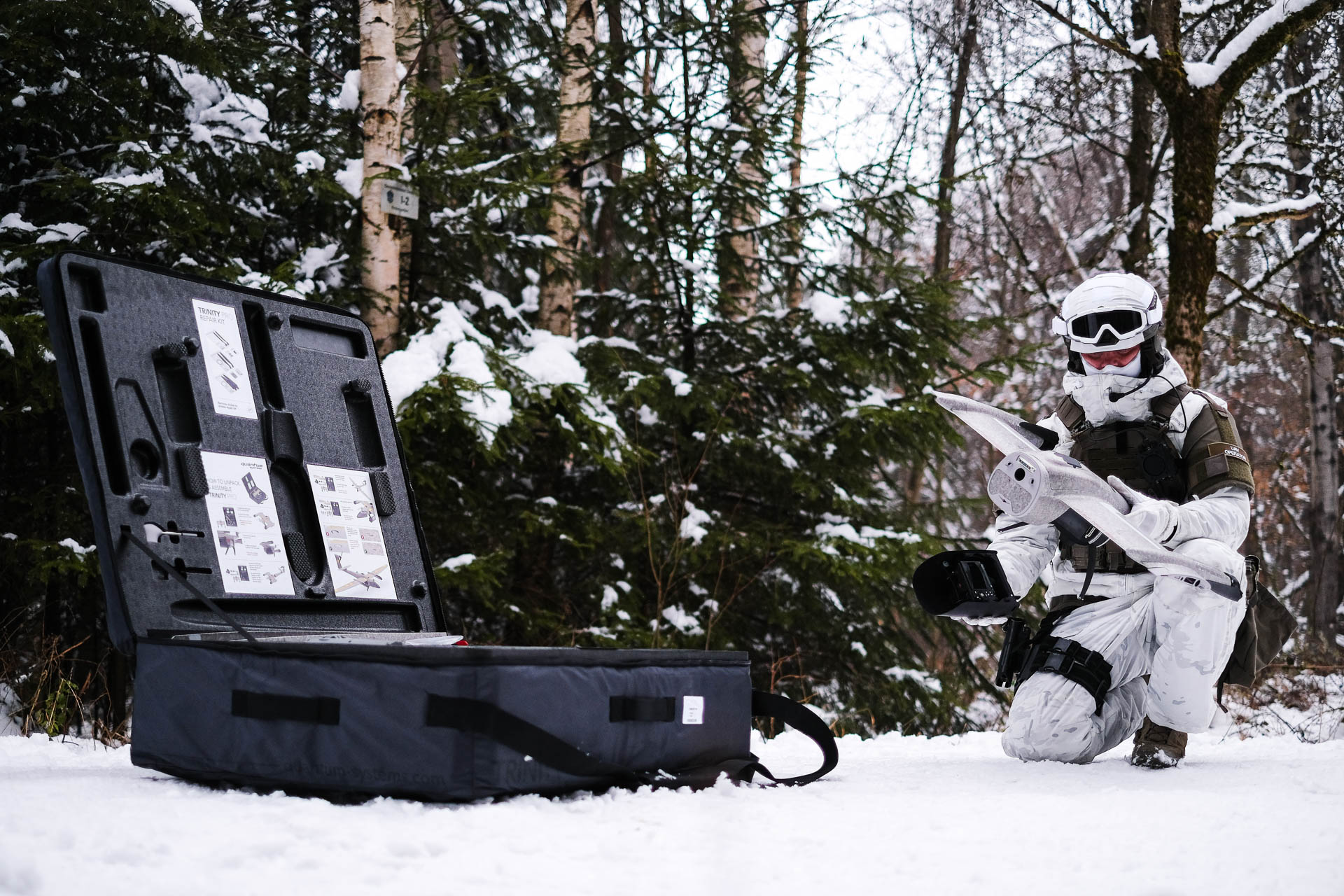
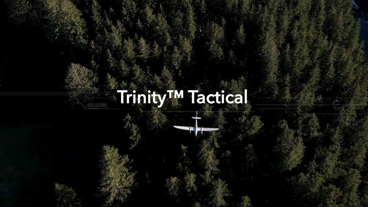
Built on the proven commercial eVTOL technology of the Trinity F90+ UAS, Trinity Tactical is a durable, rucksack portable aerial mapping solution that rapidly delivers accurate spatial imagery to operators in GNSS-denied environments.
Videos
Delivering mission-critical mapping data to the tactical edge.
Warfighters operating in forward deployed, disconnected environments do not have time to wait for imagery to come from rear echelon sources. The battlefield is constantly changing and they need a Geographic Information System (GIS) at the tactical edge that is portable and easy-to-use that provides precise, reliable imagery when needed.
Built on the proven commercial eVTOL technology of the Trinity F90+ UAS, Trinity Tactical is a durable, rucksack portable aerial mapping solution that rapidly delivers accurate spatial imagery to operators in GNSS-denied environments.
Mit dem Laden des Videos akzeptierst Du die Datenschutzerklärung von YouTube.

